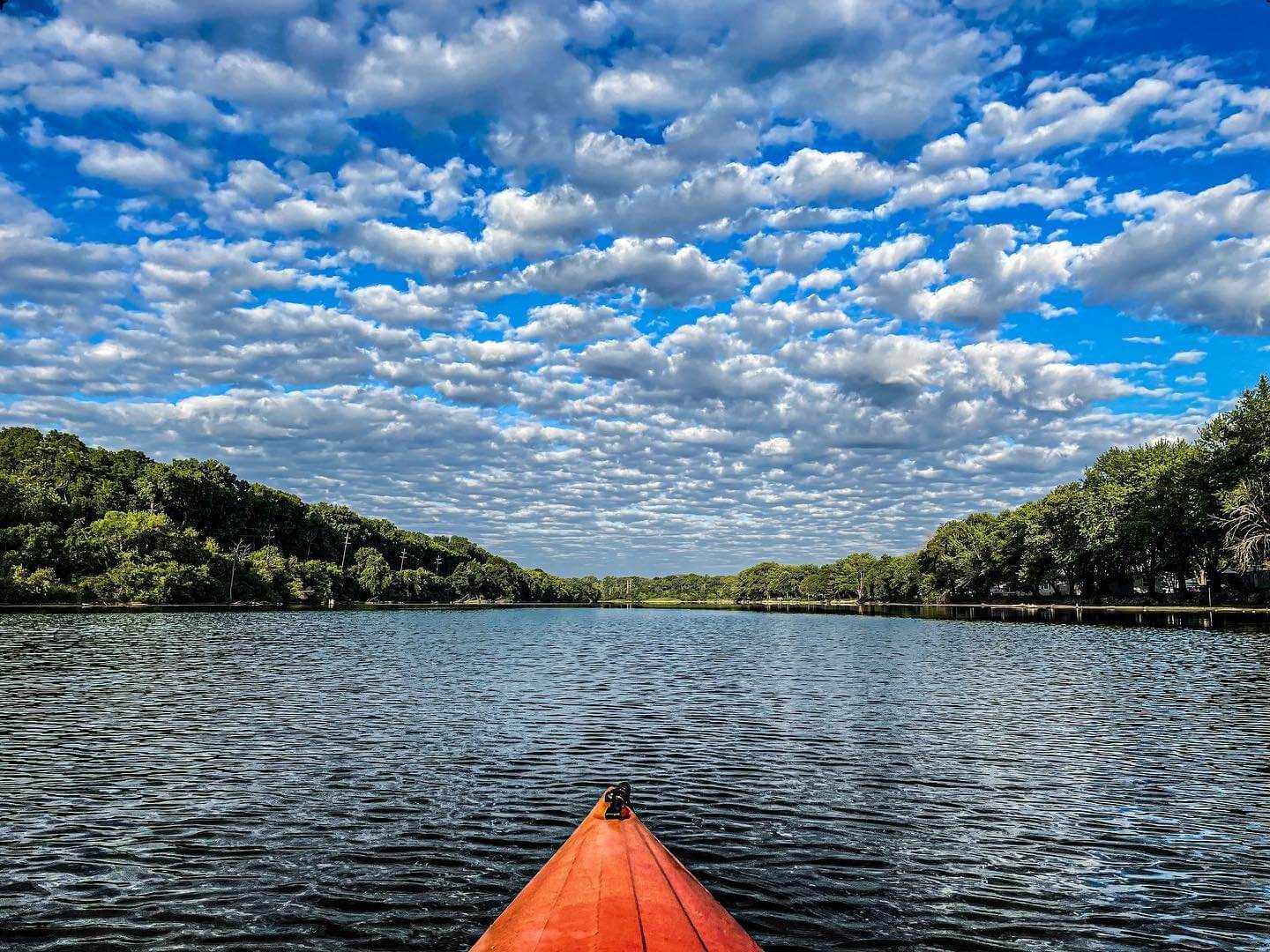
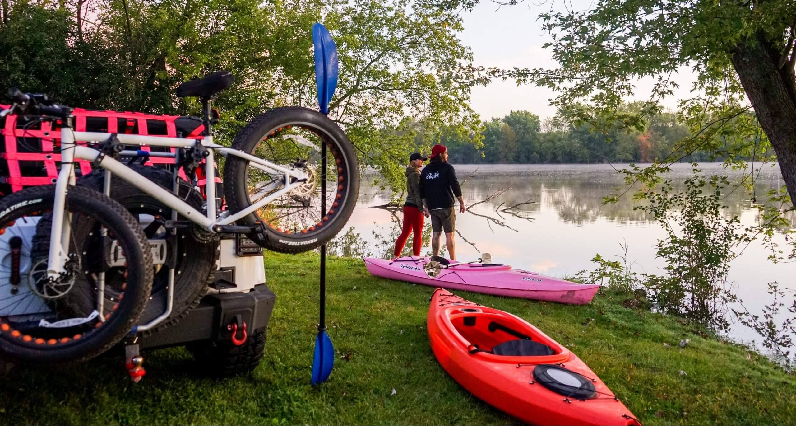
Summer is here, and it’s a great time to try new things. If you haven’t, kayaking is a great way to enjoy the outdoors with friends or family. People who love kayaking find it to be relaxing, comforting and entertaining. Here you’ll find where to rent a boat, parts of the river rated for difficulty, boat trips, and more!
Rentals
Parts of the Fox River
The Fox is a slow, meandering river with a few sandbars and presents a number of varied paddling experiences for different skill levels. The river is about 4-5 feet deep on average; however, there are spots that are much deeper and also some spots that are much shallower.
Upper Fox
The Chain O’Lakes section below Chain O’Lakes State Park is shallow lake paddling. Winds can create challenging conditions for open boaters (canoes). Choppy waters, power boats traveling at high speeds in all directions, and their wakes can make canoeing difficult and suitable only for expert paddlers.
Below the lakes section, the buoys of the Fox Waterway Agency on the Upper Fox make it safer for non-motorized boaters to co-exist with the high speed power boaters by paddling along the banks outside of the buoy-defined power boat channel. However, the nearly constant engine noise and wakes make this area a less attractive section for most paddlers.
Below McHenry Dam, stretches of the tree lined banks and less riverbank development make this section a pleasant and easier trip suitable for less experienced paddlers.
Middle Fox
Through Elgin, South Elgin, St. Charles, Geneva, Batavia, and Aurora, the river passes through highly urbanized areas and over several dams. Portaging around these dams varies in difficulty. The most difficult part of all the portages is determining from the boat which side of the dam would be the easier way around. Between the towns and dams, the river passes through stretches of scenic forest preserves and wooded areas.
Dams
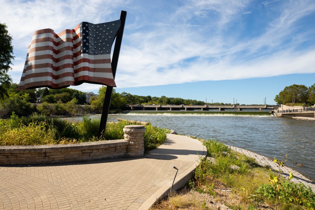
Currently, the Fox River holds thirteen dams, originally built to help power manufacturing plants along its shores. Today, these dams serve little purpose and greatly affect the flow and connectivity of the river, hindering the movement of fish and other wildlife and degrading water quality. The Forest Preserve District of Kane County has so far removed two major dams along the Fox (the Batavia Dam in 2005, and the Aurora Dam in 2006). Plans to remove the Carpentersville Dam have begun in September 2024. Further plans include removing the causeway at Fabyan Forest Preserve in Geneva. Furthermore, the Illinois Department of Natural Resources is donating $3.5 million dollars towards dam removal and habitat restoration.
Places with Power Boat Activity
The Fox River enters Illinois between Spring Grove and Antioch, in Lake County. Approximately three miles below the border, it opens into Grass, Nippersink, and Pistakee Lakes, in the Chain O’Lakes area before becoming a banked river again. Through this area, the Fox Waterway Agency manages boat usage and in some areas, for safety and navigational purposes, confines the high speed, powered boat traffic to a series of channels in the middle of the lakes and river with more than 4,000 buoys.
Approximately four miles downstream of the Chain O’Lakes, the Fox flows over the McHenry Dam, the first of a series of dams on the way to its confluence with the Illinois River in Ottawa. Below the McHenry Dam there is moderate power boat activity which increases upon reaching Elgin. The dams on the middle section of the river restrict power boat traffic to pools above each dam. As the river enters Kendall County below Montgomery, it becomes a large, quiet, and scenic river flowing mostly through farmland.
Fox River Paddle Trips
Carpentersville to Elgin
This trip starts in Carpentersville just below the dam at Carpenter Dam which is on the 31 side of the river off Lincoln Ave. and ends at Voyageur’s Landing Forest Preserve in Elgin. It takes about 1 1/2 to 2 hours.
South Elgin to St. Charles
Relax and enjoy the beautiful Fox River on a 6.5 mile canoe or kayak trip. The trip begins below the dam in South Elgin and ends at Ferson Creek Park in St. Charles ( 1 mile north of route 64 on route 31). A great trip for families, friends and groups up to 20! Rental includes a canoe/kayak, paddles, life preserves and shuttle.
Choose Your Own Fox River Adventure
Already experienced with kayaking? Below is a quick breakdown of the water trails based on difficulty and what to expect.

Beginner to Intermediate Trails
Trail: Buffalo Park Forest Preserve to Voyageurs Landing Forest Preserve
Skill level: Beginner to Intermediate
Length: Approximately 7 miles
Directions: Buffalo Park Forest Preserve is located just east of Route 31 at the end of South Street in Algonquin, and is owned by the Forest Preserve District of Kane County. Voyageur’s Landing Forest Preserve, also owned by the Forest Preserve District of Kane County, is located one mile east of Route 31, just north of I-90 at the east end of Airport Road in Elgin.
Notes: There are at least four landings or access areas with picnic facilities, camping, and nearby hotels and restaurants in Algonquin, Carpentersville, West Dundee, East Dundee, and Elgin. This scenic trip also provides good wildlife viewing in several areas. The portage at Carpentersville Dam is a good place to rest and enjoy exhibits detailing the history of the Fox River. Just downstream of the dam, the water is often shallow and turbulent. Be sure to stay to the left of the island to avoid some unforeseen obstacles. Elgin’s Trout Park also has an accessibility-friendly canoe launch.
There is an alternative take-out located a short distance downstream on the east side of the river. Both of these sites are within view of I-90. The Forest Preserve District of Kane County is largely responsible for maintenance of this stretch of the water trail.
Always check United States Geological Survey (USGS) water data before your trip.
Trail: Blackhawk Forest Preserve to Fabyan West Forest Preserve
Skill Level: Intermediate or Beginner (with an experienced guide)
Length: Approximately 10 miles
Directions: Blackhawk Forest Preserve, owned by the Forest Preserve District of Kane County, is located just south of Route 31, approximately 0.7 miles east of McLean Boulevard in South Elgin. Fabyan Forest Preserve, also owned by the Forest Preserve District of Kane County, is located just east of Route 31 and just north of Fabyan Parkway in Geneva.
Notes: This trip has a difficult portage at St. Charles Dam (on the left side), and an easier one at Geneva Dam (also on the left). The river is often very shallow for several hundred feet downstream of the dams.
Please Be Advised: In midsummer, the water levels just below the Geneva Dam are very shallow, making the put-in difficult.
The first leg of this trip, from Blackhawk Forest Preserve to Ferson Creek Park, is ideal for larger group trips and use by commercial outfitters. The trip starts with a moderately strong current, but eventually opens up into a wide, quiet-water impoundment created by the dam in St. Charles. There is a dramatic view of the river valley, just after the trail turns south, about a mile into the trip. Heavy south winds and bright sun can be a challenge on this stretch, but these can generally be avoided by hugging the shoreline.
Ferson Creek flows into the river, on the right side, about four miles into the trip. Paddlers can turn right and paddle up the creek to the first set of riffles before returning to the river. In 2002, the Geneva Park District completed reconstruction of the short portage around the dam at Old Mill Park, on the left (east) side of the river, adding a fishing station and a gazebo. Watch out for cyclists on the busy bike path that runs along the portage.
Between the two access sites, there are at least ten landings or access areas with picnic facilities, hiking and biking trails, ball fields, nearby hotels and restaurants, and other amenities in St. Charles and Geneva.
Always check United States Geological Survey (USGS) water data before your trip.
Intermediate to Advanced Trails
Trail: Voyageurs Landing Forest Preserve to Blackhawk Forest Preserve
Skill level: Intermediate to Advanced
Length: Approximately 8 miles
Directions: Voyageur’s Landing Forest Preserve is located one mile east of Route 31, just north of I-90 at the east end of Airport Road in Elgin, and is owned by the Forest Preserve District of Kane County. Jon J. Duerr Forest Preserve, also owned by the Forest Preserve District of Kane County, is located just south of Route 31, approximately 0.7 miles east of McLean Boulevard in South Elgin.
Notes: This trip is currently not recommended for beginners and families below the Slade Avenue take-out at river mile 74 because of obstacles at Kimball Street Dam and South Elgin Dam. For expert paddlers, there are unimproved portages around the dams, on river left and river right, respectively. The Elgin Parks and Recreation Department and the Illinois Department of Natural Resources have plans for improvements in the future. Downstream of the dams, the river is often shallow and turbulent.
Between the two access sites, there are at least four landings or access areas with picnic facilities, nearby hotels and restaurants, and the Grand Victoria Casino. Elgin’s Trout Park also has an accessibility-friendly canoe launch. There is an alternative take-out located a short distance downstream on the east side of the river.
The Forest Preserve District of Kane County and the Elgin Parks and Recreation Department are generally responsible for maintenance of this segment of the water trail.
Always check United States Geological Survey (USGS) water data before your trip.
Explore the Interactive Trail Map!
Using the interactive map below you have the ability to:
-Zoom in and out using the + and – buttons
-View the water trails through Google maps or satellite image
-Click on a launch site (blue teardrop) for more information on its location and possible trips
-Click on a dam (red diamond) for portage information
-Determine the paddling difficulty of a water trail (Green = Beginner; Yellow = Intermediate; Red = Expert)
Additional Resources
*Site content, map and photos provided by:
paddleillinoiswatertrails.org